Relief maps of U.S. states & national parks
Cartography
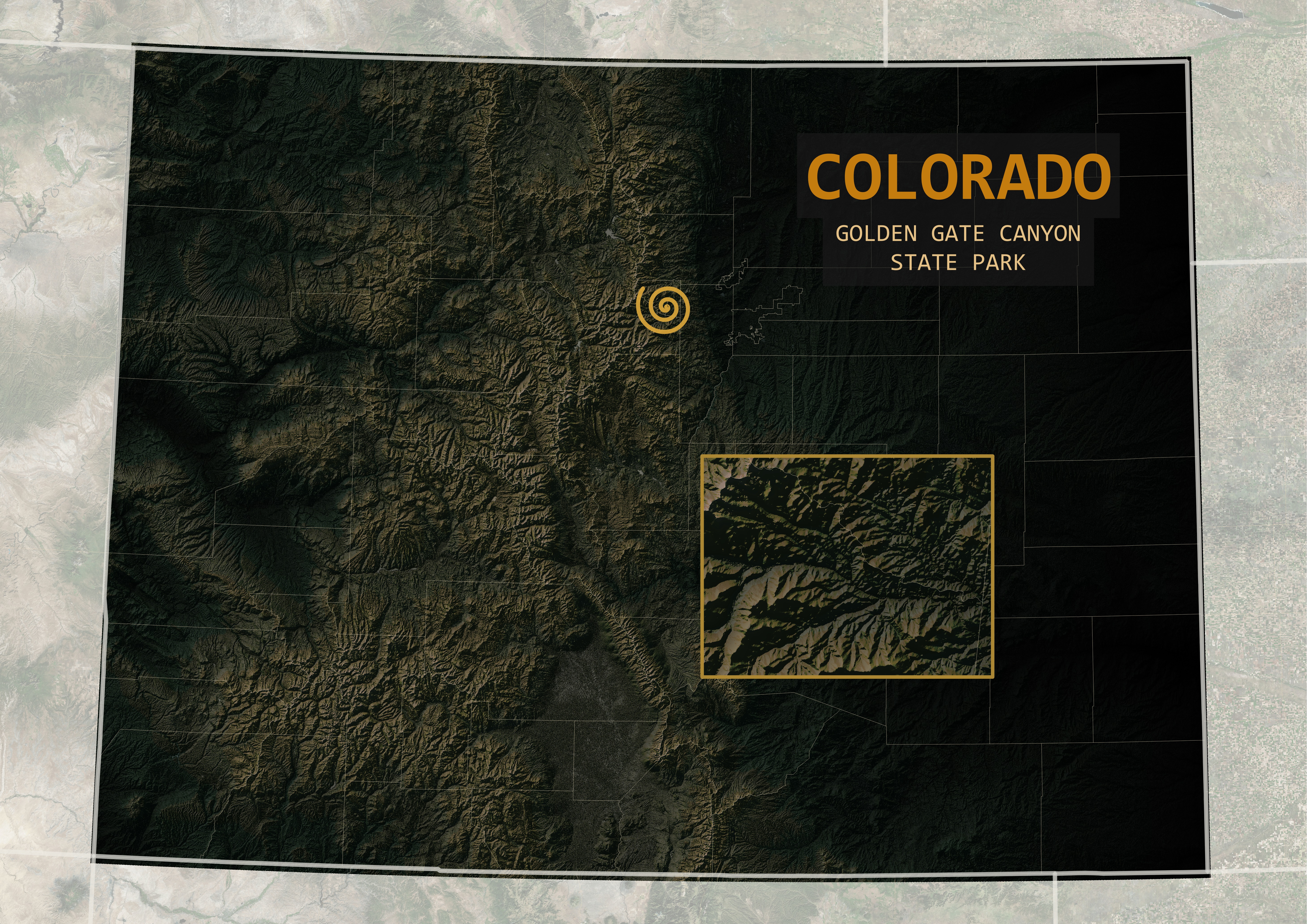
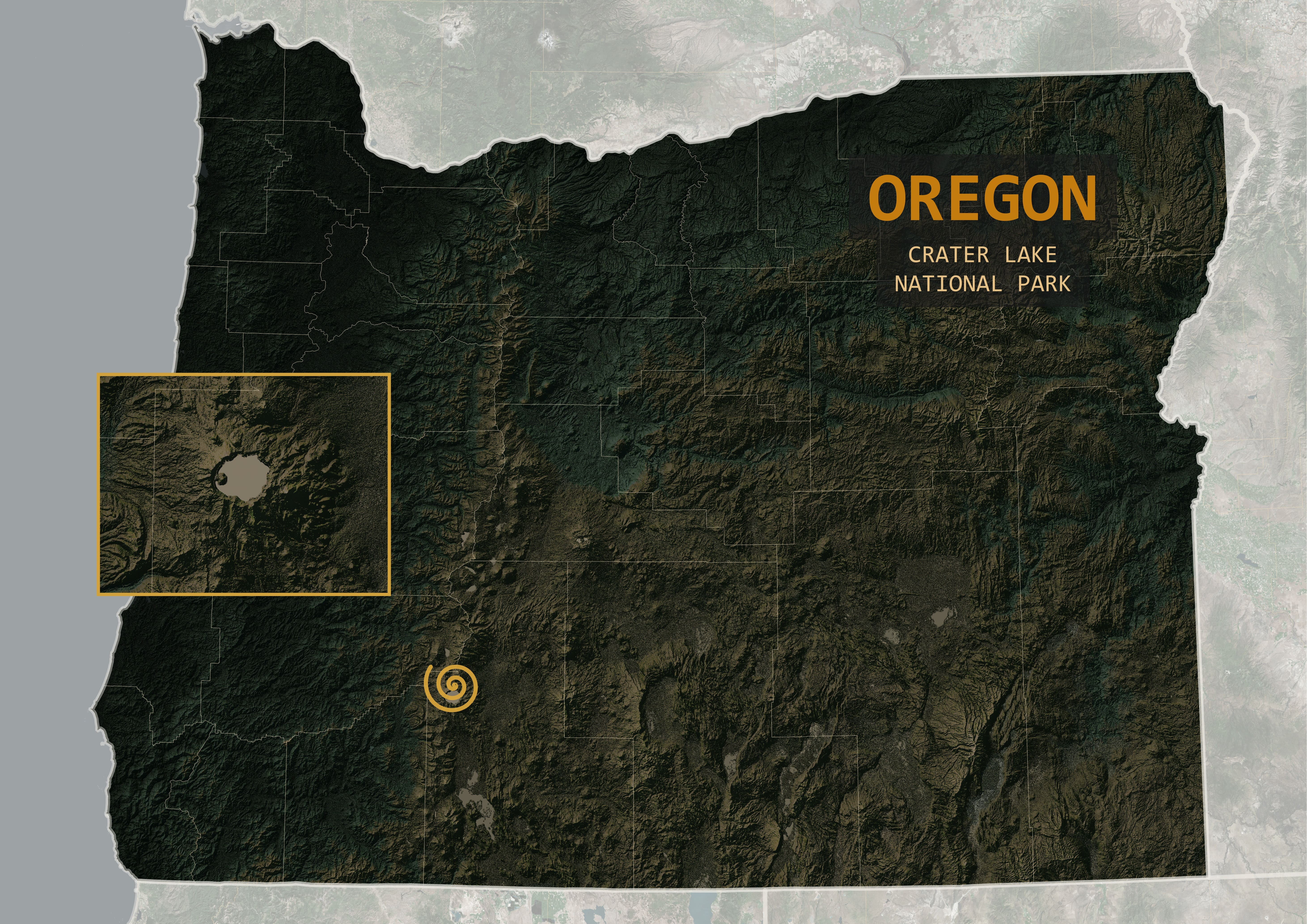
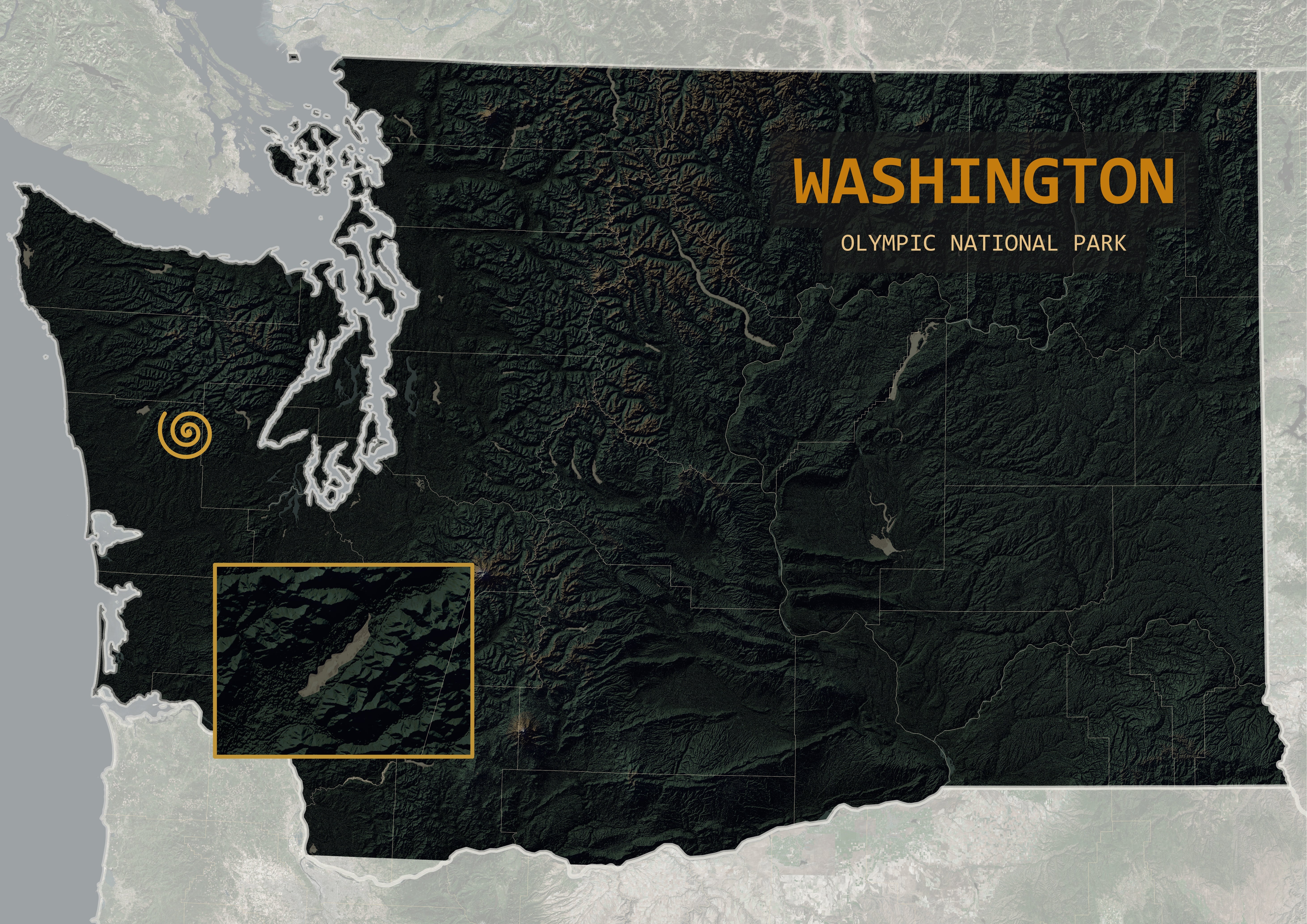
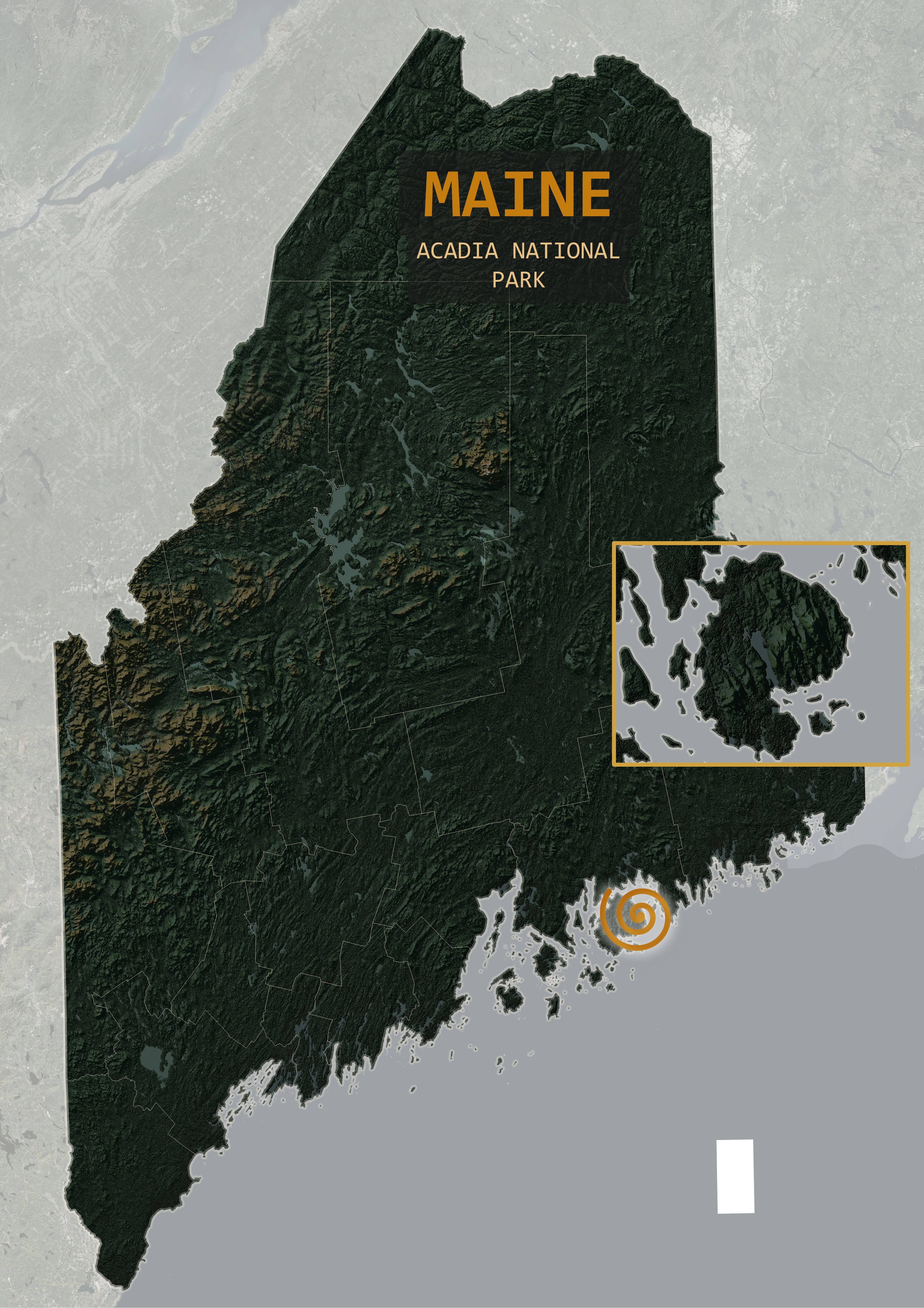
For a friend's art project featuring multiple different national and state parks throughout the U.S., I wanted to create a set of reference maps of the entire state the park is located in as well as a marker representing the location of the park.
The maps are styled to be high-contrast relief maps that highlight areas of high elevation. Hillshade was created using R and QGIS based on DEMs of each state. The hillshade, DEM, and other layers were overlaid and symbolized to create the color scheme of the maps. The symbol representing the exact location of each park was styled to match the album artwork. An inset map was added to show a simplified view of the landscape around each area the video clips were filmed.
The maps were edited into the corner of the video during clips featuring each park. The final edits excluded the light grey basemap around the state boundary/inset maps.
See here for how I incorporated LiDAR into this project.