Relief maps & LiDAR visualization of Yosemite National Park
Cartography
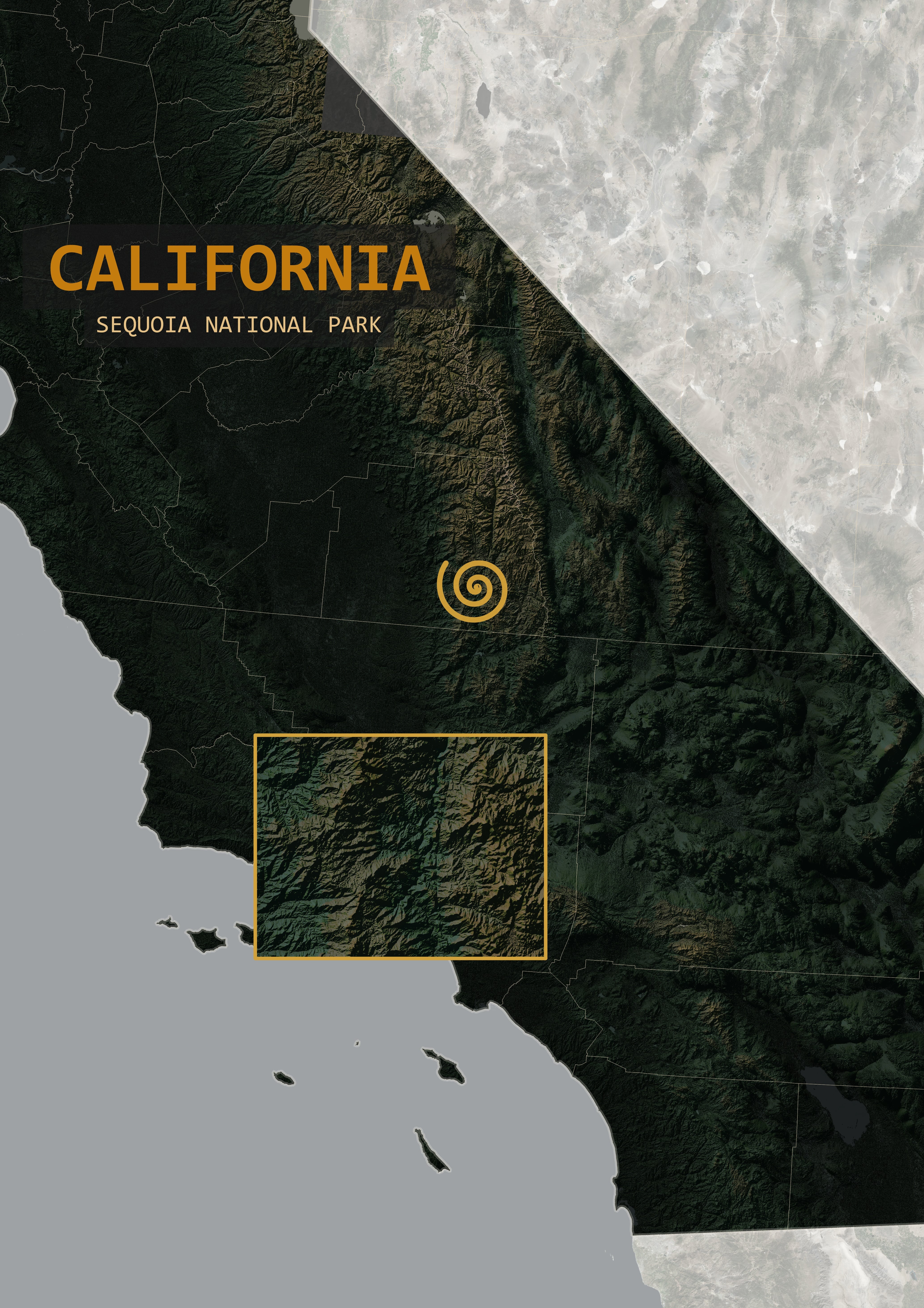
For a friend's art project featuring multiple different national parks throughout the U.S., I wanted to create a set of reference maps, including a map of California with Sequoia National Park highlighted. The map was edited into a music video and displayed during the video clips featuring Sequoia.
During video clips within the project depicting the treetops from the forest floor, I wanted to provide a 3D LiDAR view of the same forest shown in the video. The data was downloaded from USGS's National Map and visualized using Potree.
Relief Reference Map
The map was styled as a high-contrast relief map to highlight areas of high elevation. Hillshade was created using R and QGIS based on a DEM covering the state of California. The hillshade, DEM, and other layers were overlaid and symbolized to create the color scheme of the map.
The symbol representing the exact location of Sequoia National Park was styled to match the album artwork.
An inset map was added to show a simplified view of the landscape around the area the video clips were filmed.
LiDAR Visualization Using Potree
LiDAR data from a subset of the park's boundaries was chosen due the presence of sequoia trees, which was the focus of the corresponding video clips in the music video.
Due to the size of the data, I used XAMPP and Potree to host and visualize my LiDAR data. I was able to change colors to match the data's classification and elevation characteristics. I then took pictures and screen recordings of the 3D scene to edit into the music video.